Showing posts with label caves. Show all posts

Monday, 4 April 2022

Afeka Caves

The Afeka caves are located north of Ramat Aviv Gimel, a residential neighbourhood in Tel Aviv. The caves, a Samaritan cemetery, are carved into the kurkar rock, adjacent to the Ayalon highway, a major highway in the Tel Aviv metropolitan area. To the north of the caves are the gas facility of Pi Glilot and a military base.
The cave site was discovered in 1951 during the construction of the coastal railway connecting Tel Aviv and Haifa and was investigated by the field archaeologist Jacob Kaplan. The place was then re-explored in 1989 by the Israel Antiquities Authority, during the construction of the highway.
Known to many because of the parable of the Good Samaritan told by Jesus in the Gospel of Luke, the Samaritans are Israel's smallest religious community. They claim descent from the biblical tribes of Menashe and Ephraim, the sons of Joseph. Their religion is closely intertwined with Judaism. They believe that God chose Mount Gerizim near the city of Nablus in the West Bank as the site for his dwelling, while Jewish people hold that God chose Mount Zion in Jerusalem and built their temple there. Their name comes from the region called "Samaria" which contains Mount Gerizim.
The present-day population of Samaritans, numbering about 800 members, is divided between the village of Kiryat Luza, situated on Mount Gerizim, and the Israeli city of Holon. The Samaritans of Kiryat Luza hold dual Israeli and Palestinian Authority citizenship and speak Hebrew and Arabic, whilst those living in Holon primarily speak Hebrew. The area of the village and Mount Gerizim is under full Israeli control and can be accessed by Israelis.
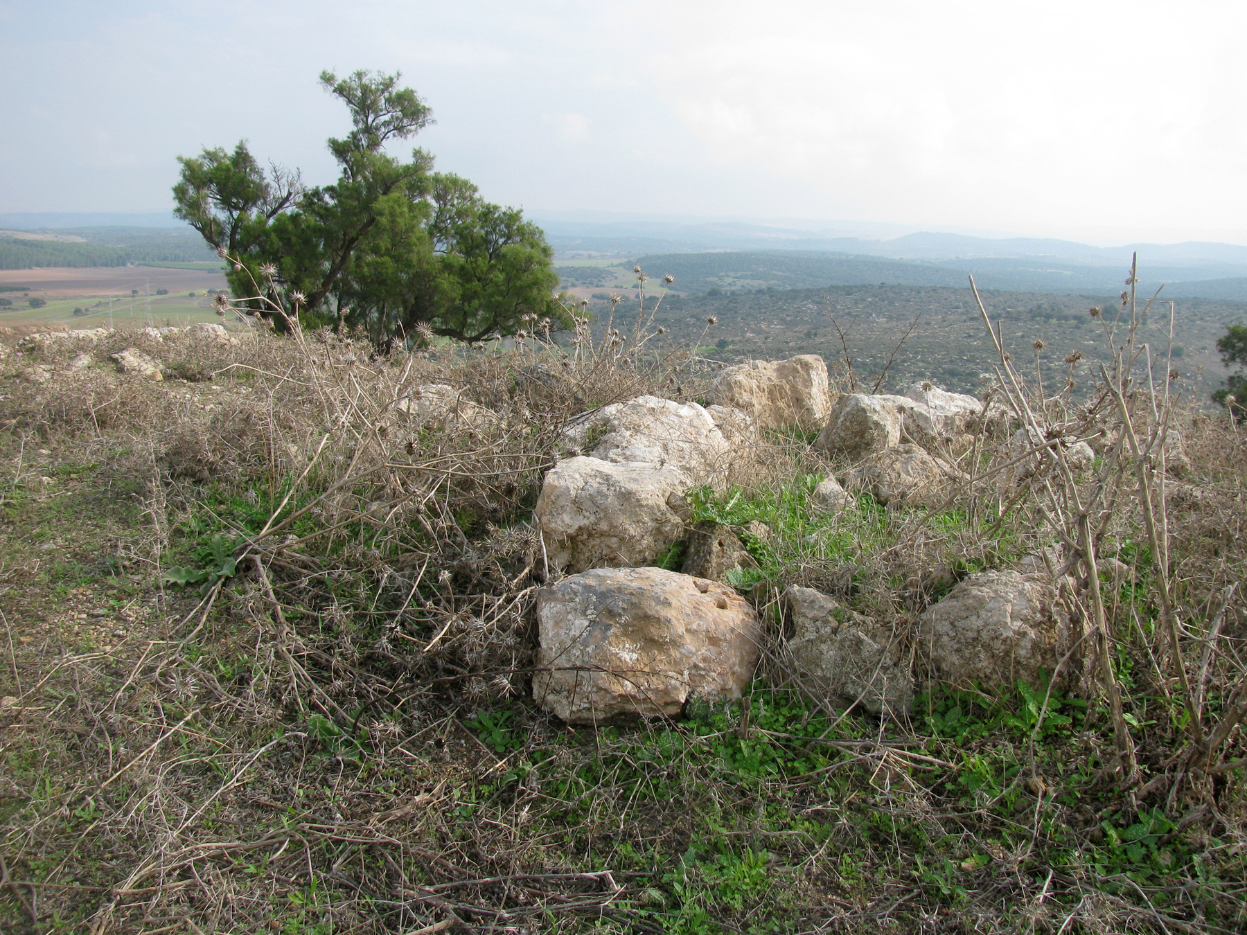
A total of 8 caves with 15 individual burial sites were discovered at the Samaritan cemetery. It was used by the Samaritans in the 4-5th centuries CE. Burials stopped there after the Samaritian rebellion of 529 CE, when they launched a war to create their own independent state. By 531 the rebellion had been put down. The Byzantines destroyed the Samaritan settlement.
Memorial vessels discovered in the burial sites included decorated pottery candles, glass vessels, rings, pendants, coins and an amulet made from a thin plate of bronze bearing passages from the Bible in Samaritan script.
Outside one of the caves was a rolling stone, above. This heavy stone was used to seal the entrance after burial, in order to stop animals and grave-robbers entering, and also to prevent the "impurity" (Tumah) escaping.
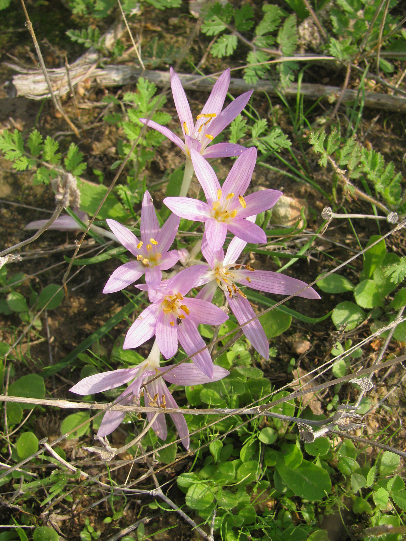
Today the Afeka Caves and adjacent Drezner Grove offer a lovely hike close to Tel Aviv. We visited in March, when the red anemones and the dark purple Coastal Iris were at their best! If you visit during December and January, you will see Narcissus flowers, which I last went searching for in 2017. The Narcissus field is north of the caves.
A sign at the southern entrance to the park says that it is now called the Glilot Eco park (אקו פארק גלילות). There is some concern that the Tel Aviv municipality will build apartments here. It would be terrible to lose this special natural space. Along with the burial caves, signs told us that animals and birds such as the striped newt, Mediterranean chameleon, the Indian crested porcupine and the common kestrel can all be seen in the area. Instead of green fields, wild flowers and animals, how sad would it be to see only concrete, cars and buildings?
Sticky Mud and Belly Laughs

Monday, 1 March 2021

Tel Tzafit

It was grey and drizzling when we arrived at Tel Tzafit and there were very few people around, but the rain stopped as we began our hike and we managed to complete almost the whole short trail before the heavens opened. As we walked, we noticed how green everything looked since the winter rains had begun. Bright green grass was growing everywhere and more than a few Sitvanit Ha'Yore, which literally means "Saffron of the first rains", were flowering on the hill.
Tel Tzafit, or in Arabic Tell es-Safi, which means "clear or bright mound", is thought to be the site of the ancient Philistine city of Gath. Gath was one of the five Philistine cities in the southern coastal plain - the others being Gaza, Ashkelon, Ashdod and Ekron. The five cities are often referred to as the Philistine Pentapolis.
Archaeological excavations show that the tel, or archaeological mound, was continually inhabited since the 5th millennium BCE. It appears on the Madaba Map as Saphitha, while the Crusaders called it Blanche Garde, the "White Fortress". Under the Ottoman Empire it was part of the district of Gaza and in modern times the villagers were Muslim and cultivated cereals and orchards. They had a mosque, a marketplace and a shrine for a local sage called Shaykh Mohammad. The Arab population was expelled during the 1948 War of Independence, when the village was conquered by the Givati brigade, and later levelled. Today the site is an Israeli national park and the site of ongoing archaeological excavations.
A small columbarium (housing structure for doves and pigeons) carved into one of the caves for fresh meat supply.
The clearly marked trail first took us past white chalky caves, along the western and northern area of the hill. The chalk was used in ancient times to quarry building stones for structures. The artificially carved caves were then used for storage of grain and as reservoirs for the water supply. Large rocks full of fossils sit in chunks around the opening of the caves. These are remnants of the distant past when this area was completely under water.
We continued climbing towards the summit of the hill, which sits 700 feet (210 m) above sea level. Periodic signs along the trail with quotations from the Bible gave us information about the ancient city of Gath. From the top there were impressive views from all sides and it was easy to understand the strategic importance of the site, which commanded the main north-south coastal road and also an important east-west route along the valley of Elah to Jerusalem.
The sign on the observation platform shows directions, in Hebrew, to the major Philistine cities – Gaza, Ashkelon, Ashdod and Ekron. They are in order from top to bottom, also from south to north.
  An Arab graveyard was located on the fringes of the ruined Arab village. Some remains of the tombs are still standing on the hillside.
We took a break at the observation platform on the summit of the hill to enjoy the views of the coastal plain, the Shfela (the Lowlands) and the Judaean Hills in the distance. The summit was where an ancient acropolis was once located, and was also the location of the Crusader fortress. Continuing along the trail we passed the remains of the Arab village, as well as more ancient remains, below. The Arab village was built on the ruins of the Crusader village and fortress. The villagers reused the ancient stones and added sun-dried mud bricks to build their houses. An Arab graveyard was located around the summit and some of the tombs are still there.
Further down the hill various excavations have unearthed Philistine style ceramics, including a fragment of a clay bowl, dated to 950 BC, with ancient alphabetic letters cut into it spelling two words which are etymologically close to the name Goliath. This supports evidence of settlement by the Philistines in Gath. Another interesting find was an ivory bowl cut from a section of a tusk of an Indian elephant which is dated to 1100 BC. Yet more evidence of the Philistine culture was found in the form of a cooking installation known as a 'pebbled hearth' - a round pile of small stones on which they cooked their food.
Along this part of the trail were groups of cactus bushes. The cactus bush was a typical fence used in Arab villages.
From this point it was a short walk back to our car, first passing more caves and an orchard. It was raining pretty heavily but, once back in the car, I couldn't resist stopping at an ancient well located near to the entrance to the park. The well, "Bir Tel Tzafit", below, was an Antilia type well and was used by the villagers as their source of water. A water wheel, also known as the Antilia, was used to fetch the water from the bottom of the well using cogwheels and animal power - donkey or camel - to raise water from the well and fill up a nearby pool. From the pool the water was channelled to agricultural fields, or used for households or livestock. Around the well are the remains of the structures that operated with the various parts of the Antilia.
The Helpful Hiker