


Archaeological excavations show that the
tel, or
archaeological mound, was continually inhabited since the 5th millennium
BCE. It appears on the Madaba Map as Saphitha, while the Crusaders called it Blanche Garde, the "White Fortress". Under
the Ottoman Empire it was part of the district of Gaza and in modern times the
villagers were Muslim and cultivated cereals and orchards. They had a
mosque, a marketplace and
a shrine for a local sage called Shaykh Mohammad. The Arab population was
expelled during the 1948 War of Independence, when the village was conquered by the
Givati brigade,
and later levelled. Today the site is an Israeli national park and
the site of ongoing archaeological excavations.


A small columbarium (housing structure for doves and pigeons) carved
into one of the caves for fresh meat supply.


The clearly marked trail first took us past white chalky caves, along the
western and northern area of the hill. The chalk was used in ancient times to quarry building stones for
structures. The artificially carved caves were then used for storage of
grain and as reservoirs for the water supply. Large rocks full of fossils
sit in chunks around the opening of the caves. These are remnants of the
distant past when this area was completely under water.


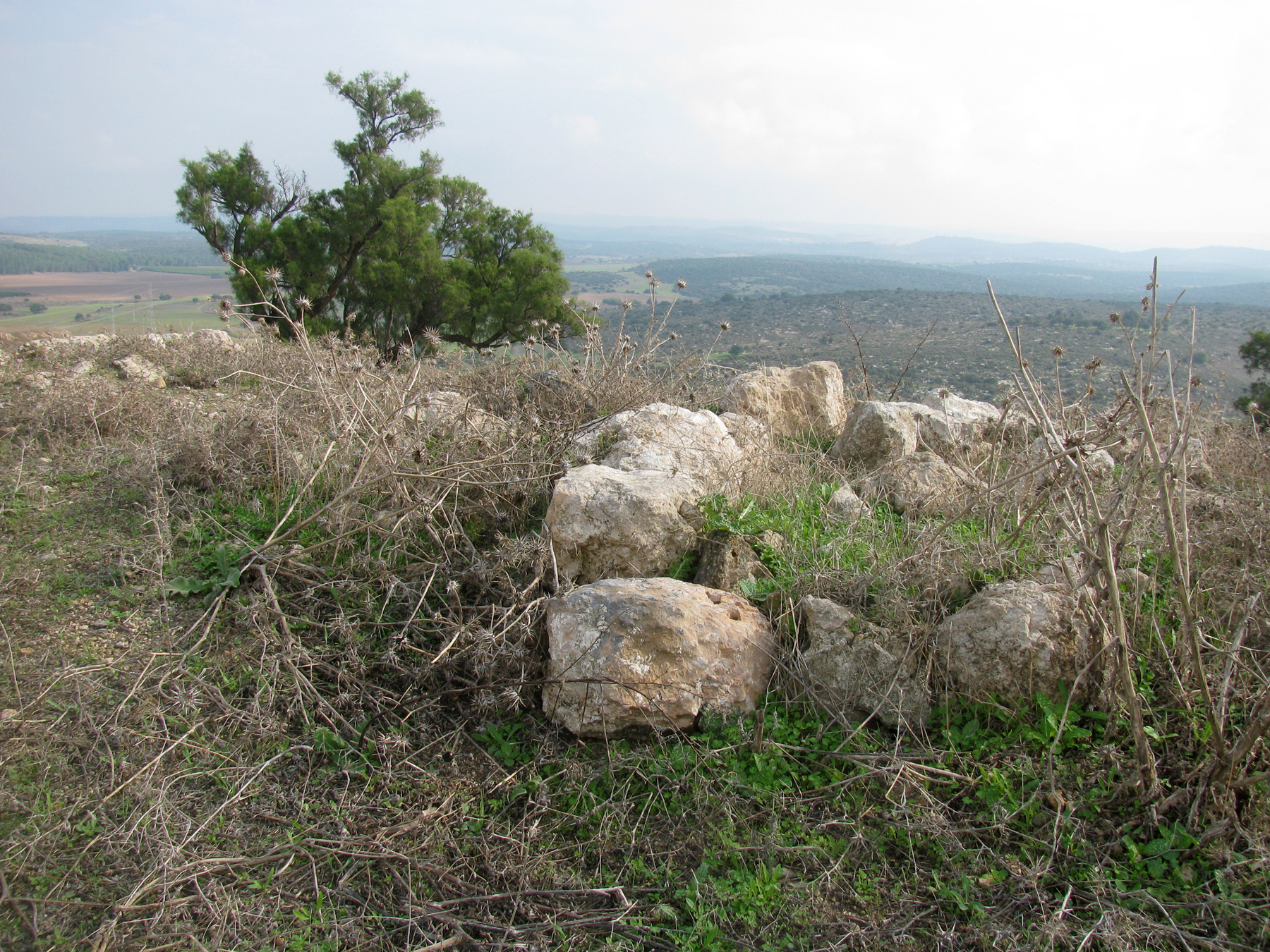
We continued climbing towards the summit of the hill, which sits 700 feet
(210 m) above sea level. Periodic signs along the trail with quotations
from the Bible gave us information about the ancient city of Gath. From
the top there were impressive views from all sides and it was easy to
understand the strategic importance of the site, which commanded the main
north-south coastal road and also an important east-west route along the
valley of Elah to Jerusalem.


The sign on the observation platform shows directions, in Hebrew, to
the major Philistine cities – Gaza, Ashkelon, Ashdod and Ekron. They
are in order from top to bottom, also from south to north.


An Arab graveyard was located on the fringes of the ruined Arab
village. Some remains of the tombs are still standing on the
hillside.


Along this part of the trail were groups of cactus bushes. The cactus bush
was a typical fence used in Arab villages.


 From this point it was a short walk back to our car, first passing more
caves and an orchard. It was raining pretty heavily but, once back in the
car, I couldn't resist stopping at an ancient well located near to the
entrance to the park. The well, "Bir Tel Tzafit", below, was an
Antilia
type well and was used by the villagers as their source of water. A water
wheel, also known as the Antilia, was used to fetch the water from the
bottom of the well using cogwheels and animal power - donkey or camel - to
raise water from the well and fill up a nearby pool. From the pool the water
was channelled to agricultural fields, or used for households or livestock.
Around the well are the remains of the structures that operated with the
various parts of the Antilia.
From this point it was a short walk back to our car, first passing more
caves and an orchard. It was raining pretty heavily but, once back in the
car, I couldn't resist stopping at an ancient well located near to the
entrance to the park. The well, "Bir Tel Tzafit", below, was an
Antilia
type well and was used by the villagers as their source of water. A water
wheel, also known as the Antilia, was used to fetch the water from the
bottom of the well using cogwheels and animal power - donkey or camel - to
raise water from the well and fill up a nearby pool. From the pool the water
was channelled to agricultural fields, or used for households or livestock.
Around the well are the remains of the structures that operated with the
various parts of the Antilia.


* This post has been shared on
Nature Notes,
The Joys of Spring,
The Good. The Random. The Fun., Wordless Wednesday (on Tuesday), Our World Tuesday, Tuesday's Treasures, Pictorial Tuesday and My Corner of the World.


23 comments:
It's so green!! What a gorgeous hike.
How wonderful to see spring flowers peeking out on your hike. Happy Monday!
I am so glad the rain stopped for your hike.
What an interesting place to explore. There is so much history there x
What an interesting landscape for a walk - love the chalky white rocks. You don't imagine hiking in the rain when you think of Israel! I spent a summer in a Kibbutz and the heat was blistering. But for hiking, this can be the perfect weather. Really interesting to follow your footsteps. #adventurecalling
Early spring is a real mood-booster, isn't it?
Thanks for sharing these lovely photos with us at https://image-in-ing.blogspot.com/2021/03/bad-memory.html
this looks wonderful, quite isolated I imagine. I love the spring flowers poking through.
What a green and wonderful hike!
Another lovely tour of your Country. It definitely looks a lot greener. There is so much history steeped in your ancient lands.
Beautiful views and fascinating history. I loved the bit about the clay bowls! xx
...I'm not a fan of hiking on the rain, but the landscape would be so barren without it. Nature has done a beautiful job sculpting the rocks. Thanks for sharing this special spot, take care and stay safe.
Very interesting post for me ! With blogging I learn so much about other countries more then in school !!
Glad you got a hike in before the rain. Nice to see the spring flowers.
The history of the place is interesting, and your hike produced many lovely photos. Enjoyed reading about your adventures.
What an interesting place to hike, and lots to learn on the way as well! Thank you for sharing on this month's TravelLinkUp
Emmalene | A Brummie Home and Abroad
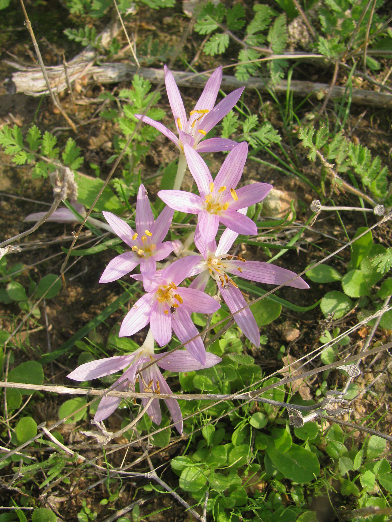
What a beautiful place to hike! I used to grow saffron at home, then harvest the stamens to use as a spice. The wild saffron looks similar.
Thank you for sharing your hiking photos. I've been using the treadmill and walk in different countries via YouTube so may have to see if any have posted from your part of the world. I'm anxious to get out this Summer and actually walk again in some places we have here. Happy Tuesday.
Another interesting hike to a lovely area!
I'm glad to see you this week at 'My Corner of the World'!
What a shame that a place with so much history was leveled. The archeological finds there seem very interesting. And the views seem lovely even on a gloomy day.
Oh my..it looks like springtime there...
So beautiful!
This looks fantastic :) I love the views and ancient finds - I find that kind of thing fascinating! #AdventureCalling
This was so interesting. An exciting place to walk around for sure.
Thank you for sharing with #AdventureCalling
What a stunning and interesting place for a hike. Love your photos, they have a real sense of history to them. So many fascinating sites to pass through, I definitely learnt something today. Thank you so much for sharing #AdventureCalling
Post a Comment